Sierra County
A Choice Location
Other · Camptonville · Sierra County, California
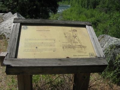
Before the gold rush Indian Valley was used extensively by the Nisenan people. They were attracted to by the oak groves and the availability of fish and deer. Beginning in 1849, the North Yuba River was intensively mined for gold. The cone shaped tailings you may see along the river’s edge are the result of dragline dredging, which ended in 1941. Stores, ranches and sawmills were also located in Indian Valley to provide support services to the surrounding miners. In the 1930s the Forest Service began development of campgrounds for public use in this area. This was, and still is, a place for families to have an inexpensive vacation and enjoy nature. Erected by United States Forest Service - Tahoe National Forest.
The record
| Marker family | Other |
| County | Sierra County |
| Place | Camptonville |
| Location | State Highway 49, on the right when traveling north, 0.1 mile north of the Fiddle Creek Campground, near Camptonville |
| Coordinates | 39.516517, -120.986417 |