Placer County
A Safe Harbor
County / Local · Tahoe City · Placer County, California
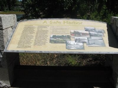
Business and tourists. Outlet point is the location where the waters of Lake Tahoe find their only release from the lake basin along the Lower Truckee River at Tahoe City. The sheltered inlet of the Truckee River mouth provided safe harbor for fishermen in the late 1800s. Two early settlers at Outlet Point were Jeremiah “Johnny” Hurley and Billy Morgan. In the 1880s they partnered with two other men and operated the Lake Fishery. By 1900 Outlet Point was popular with summer visitors who strolled along a boardwalk that connected it with the wharf at Commons Beach. There they visited Hurley’s simple clapboard structure affectionately called the Toy-Yat Club boathouse.… Erected by North Lake Tahoe Historical Society.
Partial text — the full plaque text has not been transcribed in full.
The record
| Marker family | County / Local |
| County | Placer County |
| Place | Tahoe City |
| Location | Can be reached from West Lake Boulevard (State Highway 89) west of State Highway 26; at the Lake Tahoe Outlet Gates near the Gatekeeper's Cabin Museum at William B. Layton Park; at or near 130 West Lake Boulevard, Tahoe City CA 96145 |
| Coordinates | 39.166500, -120.143933 |
| Same-site note | One of the William B. Layton Park / Gatekeeper's Cabin Museum panel cluster at the Lake Tahoe outlet in Tahoe City; the panels stand within a few steps of each other at near-identical published coordinates but are distinct markers, not duplicates. |