El Dorado County
Arrastre
Other · Coloma · El Dorado County, California
What the marker says
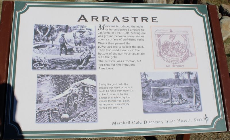
Mexicans introduced the mule or horse-powered arrastre to California in 1849. Gold-bearing ore was ground between heavy stones upon a surface of well-fitted rocks. Miners then panned the pulverized ore to collect the gold. They also used mercury in the bottom of the pan to amalgamate with gold. The arrastre was effective, but too slow for the impatient Americans. Erected by California Department of Parks & Recreation.
The record
| Marker family | Other |
| County | El Dorado County |
| Place | Coloma |
| Location | On Coloma Road (California Route 49) near Mt Murphy Road, on the right when traveling south; resin marker mounted to a metal stand on the Gold Discovery Loop Trail, Marshall Gold Discovery State Historic Park |
| Coordinates | 38.800800, -120.892017 |