Nevada County
Bridgeport Bridge
Native Sons / Daughters · Penn Valley · Nevada County, California
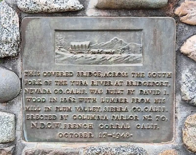
What the marker says
This covered bridge across the South Fork of the Yuba River at Bridgeport, Nevada Co., Calif. was built by David I. Wood in 1862 with lumber from his mill in Plum Valley, Sierra Co., Calif. Erected by Columbia Parlor No. 70 N.D.G.W. French Corral Calif. October 17, 1948.
The record
| Marker family | Native Sons / Daughters |
| County | Nevada County |
| Place | Penn Valley |
| Location | Pleasant Valley Road, 7.5 miles north of California Route 20, at the South Yuba River State Park Visitor Center (north end of the bridge), Penn Valley; at or near 17660 Pleasant Valley Rd, Penn Valley CA 95946 |
| Coordinates | 39.293133, -121.194950 |