El Dorado County
Carson Trail - Placerville
Other · Placerville · El Dorado County, California
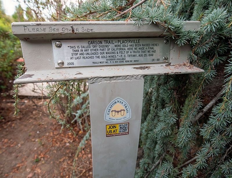
What the marker says
"This is called 'Dry Diggins'...More gold has been raised (here) than in any other part of California. Here we made a final stop and unloaded our wagons & felt of a truth that we had at last reached the gold mines." - P. C. Tiffany, Aug 25, 1849. Erected 2005 by Trails West, Inc. (Marker CR-69.) The Carson Trail and the Johnson Cutoff Trail intersected here; the Johnson Cutoff Marker 30 inscription is on the other side of this T-marker.
The record
| Marker family | Other |
| County | El Dorado County |
| Place | Placerville |
| Location | Reached from Benham Street, on the left when traveling south; marker is at or near 3071 Benham Street, Placerville CA 95667 |
| Coordinates | 38.725050, -120.801733 |