Placer County
Development & Conflict
Other · Tahoe City · Placer County, California
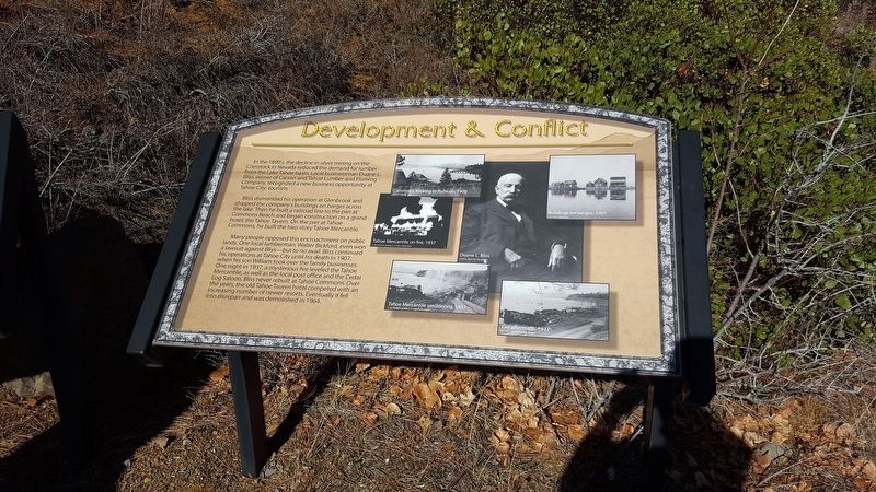
In the 1890s, the decline in silver mining on the Comstock in Nevada reduced the demand for lumber from the Lake Tahoe basin. Local businessman Duane L. Bliss, owner of Carson and Tahoe Lumber and Fluming Company, recognized a new business opportunity at Tahoe City: tourism. Bliss dismantled his operation at Glenbrook and shipped the company's buildings on barges across the lake. Then he built a railroad line to the pier at Commons Beach and began construction on a grand hotel, the Tahoe Tavern. On the pier at Tahoe Commons, he built the two-story Tahoe Mercantile. Many people opposed this encroachment on public lands. Once local lumberman, Walter Bickford, even won a lawsuit against Bliss--but to no avail.… Erected by Tahoe City Rotary Club.
Partial text — the full plaque text has not been transcribed in full.
The record
| Marker family | Other |
| County | Placer County |
| Place | Tahoe City |
| Location | Can be reached from North Lake Boulevard; in Commons Beach Park, along a bike path (post office area: Tahoe City CA 96145) |
| Coordinates | 39.170650, -120.140733 |
| Same-site note | Stands 'here, next to' the Trains and Tourists marker (m=112972) in Commons Beach Park; distinct panels, not duplicates. |