Placer County
Early Tahoe City
Other · Tahoe City · Placer County, California
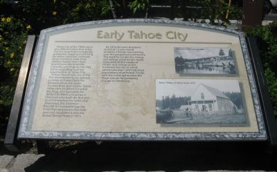
Tahoe City of the 1860s was a very different place than today. The first businesses include hay production, logging and fishing for native Lahontan cutthroat trout. Comstock Lode silver mining created short-lived boomtowns like Knoxville, Claraville, and Virginia City. This led to expanding business opportunities in Tahoe City. William Poman was one of the first town residents. He opened a saloon at Outlet Point, the location where the Lower Truckee River drains Lake Tahoe. Other early residents included M.L. King, who operated the Tahoe City Hotel and James C. Chesroon who built the first pier to accommodate the lake’s new steamboat, the Governor Blaisdel.… Erected 2008 by Rotory Club of Tahoe City.
Partial text — the full plaque text has not been transcribed in full.
The record
| Marker family | Other |
| County | Placer County |
| Place | Tahoe City |
| Location | Can be reached from North Lake Boulevard (State Highway 28) west of Grove Street; at Heritage Plaza next to the Watson Cabin Museum; at or near 560 North Lake Boulevard, Tahoe City CA 96145 |
| Coordinates | 39.171483, -120.140100 |
| Same-site note | One of the Heritage Plaza history-panel cluster beside the Watson Cabin Museum in Tahoe City; the panels share the plaza (several at identical published coordinates) but are distinct markers, not duplicates. |