Placer County
First Mining Ditch
County / Local · Foresthill · Placer County, California
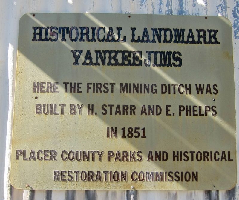
What the marker says
Here the first mining ditch was built by H. Starr and E. Phelps in 1851. Erected by Placer County Parks and Historical Restoration Commission.
The record
| Marker family | County / Local |
| County | Placer County |
| Place | Foresthill |
| Location | At the intersection of Spring Garden Road and Yankee Jim Road, on the left when traveling east on Spring Garden Road, at Yankee Jim's (post office area: Foresthill CA 95631) |
| Coordinates | 39.029233, -120.861517 |
| Same-site note | Stands immediately beside the Yankee Jim's CHL 398 plaque (m=11924) at the same intersection; distinct markers covering the town's first ditch and the town itself. |