Tuolumne County · California Historical Landmark No. 446
Groveland
State Landmark · Groveland · Tuolumne County, California
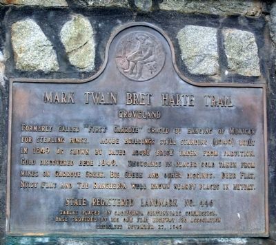
What the marker says
Formerly called “First Garrote” traced to hanging of Mexican for stealing horse. Adobe buildings still standing (1949) built in 1849 as shown by dated adobe brick taken from partition. Gold discovered here 1849. Thousands in placer gold taken from mines on Garrote Creek, Big Creek and other diggings. Deer Flat, Noisy Flat and The Rancheria well known nearby places in heyday. Erected 1949 by California Centennials Commission and Big Oak Flat Highway 20 Association.
The record
| Marker family | State Landmark |
| Landmark number | No. 446 |
| County | Tuolumne County |
| Place | Groveland |
| Location | At the intersection of Main Street (State Highway 120) and Back Street, on the right when traveling west on Main Street (State Highway 120) |
| Coordinates | 37.839200, -120.229950 |