El Dorado County
Hydraulic Mining
Other · Coloma · El Dorado County, California
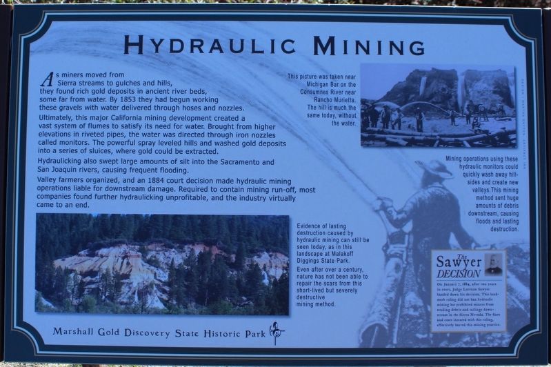
As miners moved from Sierra streams to gulches and hills, they found rich gold deposits in ancient river beds, some far from water. By 1853 they had begun working these gravels with water delivered through hoses and nozzles. Ultimately, this major California mining development created a vast system of flumes to satisfy its need for water. Brought from higher elevations in riveted pipes, the water was directed through iron nozzles called monitors. The powerful spray leveled hills and washed gold deposits into a series of sluices, where gold could be extracted. Hydraulicking also swept large amounts of silt into the Sacramento and San Joaquin rivers, causing frequent flooding… Erected by California Department of Parks & Recreation.
The record
| Marker family | Other |
| County | El Dorado County |
| Place | Coloma |
| Location | In Marshall Gold Discovery State Historic Park; on Coloma Road (California Route 49) north of Mt Murphy Road; resin marker mounted to a metal stand on the Gold Discovery Loop Trail |
| Coordinates | 38.800717, -120.891817 |