El Dorado County
Johnson Cutoff - Ascent to the Summit
Other · Kyburz · El Dorado County, California
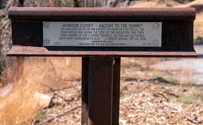
What the marker says
"We now had to go up an ascent of four or five miles. The road would run along the side of the mountain, and then turn square up for a short distance. In this way we passed over many dangerous places" - J. Robert Brown, Sep 26, 1856. Erected 2011 by Trails West, Inc. (Marker JC-14.)
The record
| Marker family | Other |
| County | El Dorado County |
| Place | Kyburz |
| Location | Reached from Wrights Lake Road 0.4 miles north of U.S. 50, on the right; the marker is on a dirt road about twenty yards from Wrights Lake Road, Kyburz CA 95720 |
| Coordinates | 38.787067, -120.209050 |