Nevada County
Lincoln Highway Through Truckee
E Clampus Vitus · Truckee · Nevada County, California
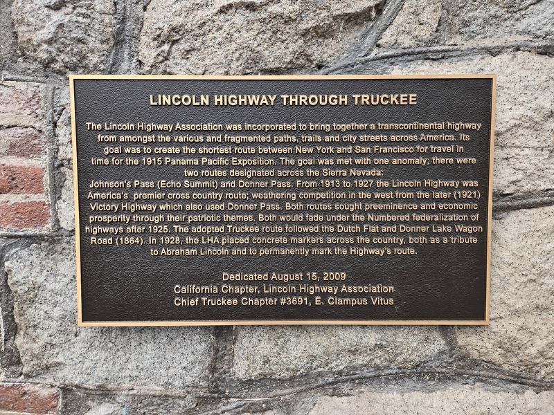
What the marker says
The Lincoln Highway Association was incorporated to bring together a transcontinental highway from amongst the various and fragmented paths, trails and city streets across America. Its goal was to create the shortest route between New York and San Francisco for travel in time for the 1915 Panama Pacific Exposition… From 1913 to 1927 the Lincoln Highway was America's premier cross country route… The adopted Truckee route followed the Dutch Flat and Donner Lake Wagon Road (1864). In 1928, the LHA placed concrete markers across the country… Dedicated August 15, 2009. California Chapter, Lincoln Highway Association; Chief Truckee Chapter #3691, E Clampus Vitus.
The record
| Marker family | E Clampus Vitus |
| Erected by | Chief Truckee Chapter No. 3691 |
| County | Nevada County |
| Place | Truckee |
| Location | Intersection of Bridge Street and Jibboom Street, Truckee; at or near 10010 Bridge Street, Truckee CA 96161 |
| Coordinates | 39.329067, -120.184533 |