Placer County
Loomis - Transcontinental Railroad
County / Local · Loomis · Placer County, California
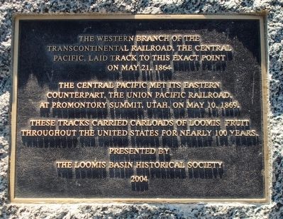
What the marker says
The western branch of the Transcontinental Railroad, the Central Pacific, laid track to this exact point on May 21, 1864. The Central Pacific met its eastern counterpart, the Union Pacific Railroad, at Promontory Summit, Utah, on May 10, 1869. These tracks carried carloads of Loomis fruit throughout the United States for nearly 100 years. Erected 2004 by Loomis Basin Historical Society.
The record
| Marker family | County / Local |
| County | Placer County |
| Place | Loomis |
| Location | Can be reached from Horseshoe Bar Road; near the entrance to Blue Anchor Park next to the railroad station; at or near 5775 Horseshoe Bar Road, Loomis CA 95650 |
| Coordinates | 38.821600, -121.194050 |