Placer County
Maidu Interpretive Center
Other · Roseville · Placer County, California
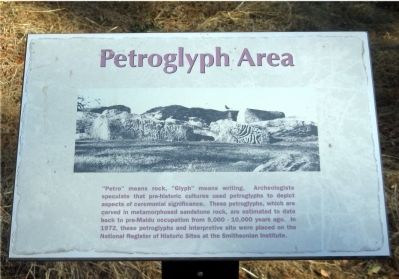
What the marker says
Petroglyph Area. “Petro” means rock, “Glyph” means writing. Archeologists speculate that pre-historic cultures used petroglyphs to depict aspects of ceremonial significance. These petroglyphs, which are carved in metamorphosed sandstone rock, are estimated to date back to pre-Maidu occupation from 5,000 – 10,000 years ago. In 1972, these petroglyphs and interpretive site were placed on the National Register of Historic Sites at the Smithsonian Institute.
The record
| Marker family | Other |
| County | Placer County |
| Place | Roseville |
| Location | Can be reached from Johnson Ranch Drive; on the trail at the Maidu Interpretive Center, a short walk from the Museum building; at or near 1960 Johnson Ranch Drive, Roseville CA 95661 |
| Coordinates | 38.738000, -121.246000 |