El Dorado County
Mining Ditches
Other · Coloma · El Dorado County, California
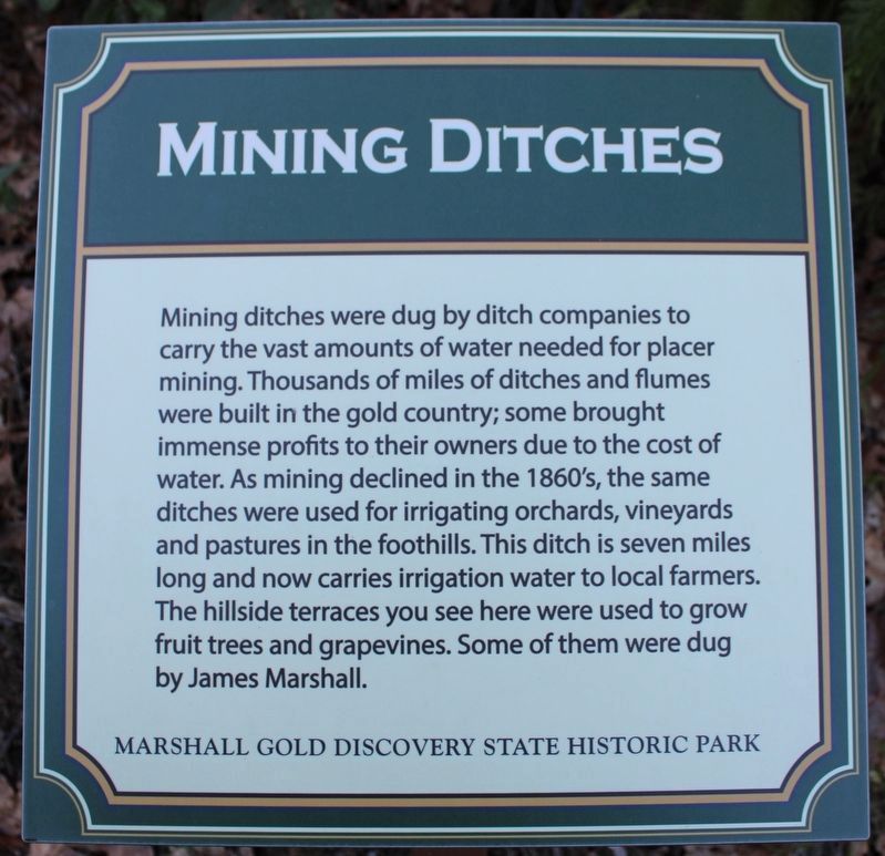
What the marker says
Mining ditches were dug by ditch companies to carry vast amounts of water needed for placer mining. Thousands of miles of ditches and flumes were built in the gold country; some brought immense profits to their owners. As mining declined in the 1860s, the same ditches were used for irrigating orchards, vineyards and pastures in the foothills. This ditch is seven miles long, and now carries irrigation water to local farmers. The hillside terraces you see here were used to grow fruit trees and grape vines. Some of them were dug by James Marshall. Erected by Marshall Gold Discovery State Historic Park. (Current replacement marker; the page also shows the original marker.)
The record
| Marker family | Other |
| County | El Dorado County |
| Place | Coloma |
| Location | On Marshall Parkway, on the left when traveling north (one-way narrow road, accessible by car only from the James Marshall Monument Parking Area), Marshall Gold Discovery State Historic Park |
| Coordinates | 38.797317, -120.892733 |