El Dorado County · California Historical Landmark No. 699
Mormon Tavern
State Landmark · El Dorado Hills · El Dorado County, California
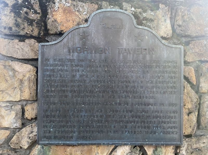
At this site on the old Clarksville-White Rock Emigrant Road was Mormon Tavern. Constructed in 1849, this popular stage stop was enlarged and operated by Franklin Winchell in 1851. It became a remount station of the Central Overland Pony Express and on April 4, 1860, pony rider Sam (Bill) Hamilton changed horses here on the first eastbound trip. Erected 1950 by the California State Park Commission in cooperation with the James W. Marshall Chapter No. 49 E Clampus Vitus, Marguerite Parlor No. 12 Native Daughters of the Golden West and the Central Overland Pony Express Trail Organization, April 2, 1950. California Historical Landmark No. 699.
The record
| Marker family | State Landmark |
| Landmark number | No. 699 |
| Erected by | James W. Marshall Chapter No. 49 |
| County | El Dorado County |
| Place | El Dorado Hills |
| Location | On PG&E-Clarksville Sub-Station Road, on the right when traveling west; from Highway 50 take Latrobe Road south 0.5 mi to White Rock Road, then NE 0.9 mi, then west 0.3 mi on PG&E Clarksville Substation Rd; 0.5 mi west of Clarksville town site, El Dorado Hills CA 95762 |
| Coordinates | 38.656100, -121.059750 |