Placer County · California Historical Landmark No. 1051
Mountain Quarries Railroad Bridge
State Landmark · Auburn · Placer County, California
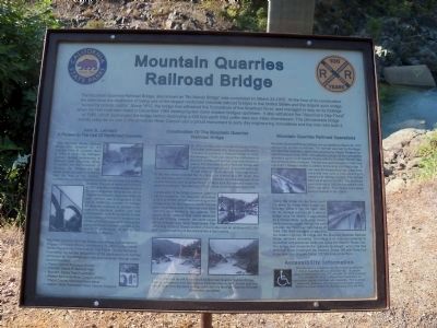
What the marker says
The Mountain Quarries Railroad Bridge, also known a "No Hands Bridge", was completed on March 23, 1912. At the time of its construction the span bore the distinction of being one of the largest reinforced concrete railroad bridges in the United States and the largest such bridge "owned by private capitol." Since 1912, the bridge has withstood the fluctuations of the American River, and managed to stay on its footings when the Hell Hole dam failed in December 1964 destroying two more modern bridges upstream.… Erected 2012 by California State Parks. (Marker Number 1051.)
The record
| Marker family | State Landmark |
| Landmark number | No. 1051 |
| County | Placer County |
| Place | Auburn |
| Location | On Old Foresthill Road east of Golden Chain Highway (California Highway 49), on the right when traveling east; the monument is about 200 to 300 feet past the intersection (post office area: Cool CA 95614) |
| Coordinates | 38.916033, -121.040450 |
| Same-site note | Companion NSGW monument at the same site (hmdbId 67659, marker GPY 135-10); distinct marker, not a duplicate. |