Tuolumne County · California Historical Landmark No. 438
Parrott's Ferry
State Landmark · Columbia · Tuolumne County, California
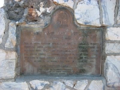
What the marker says
Site of ferry crossing established 1860 by Thomas H. Parrott connecting mining towns of Tuttletown and Vallecito. Ferry in operation until 1903 when first bridge built. Ferry boat of flat bottom wooden construction propelled on heavy cables. Cable anchorage in large boulder Calaveras side of river still visible (1949) at low water, sandbag dam built to form small lake. Erected 1949 by California Centennial Commission with base provided by Aronos Research Club of Sonora.
The record
| Marker family | State Landmark |
| Landmark number | No. 438 |
| County | Tuolumne County |
| Place | Columbia |
| Location | On Parrotts Ferry Road (County Highway E18) 6.9 miles north of State Highway 49, on the left when traveling north; approximately 5 miles north of Columbia, on the north side of the bridge that crosses New Melones Reservoir |
| Coordinates | 38.039517, -120.456417 |