El Dorado County
Placer Mining at Coloma
Other · Coloma · El Dorado County, California
What the marker says
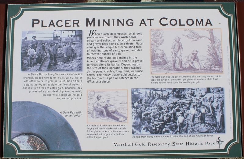
When quartz decomposes, small gold particles are freed. They wash downstream and collect as placer gold in sand and gravel bars along Sierra rivers. Placer mining is the simple but exhausting task of washing tons of sand, gravel, and dirt to recover ounces of gold. Miners here found gold mainly in the American River's gravelly bed or in gravel terraces along the banks. Depending on the size of their operation, they washed dirt in pans, cradles, long toms, or sluice boxes. The heavy placer gold settles to the bottom of a pan or catches in the riffles of a sluice. Erected by California Department of Parks & Recreation.
The record
| Marker family | Other |
| County | El Dorado County |
| Place | Coloma |
| Location | On Coloma Road (California Route 49) north of Mt Murphy Road; resin marker mounted to a metal stand on the Gold Discovery Loop Trail, Marshall Gold Discovery State Historic Park |
| Coordinates | 38.800633, -120.891917 |