Nevada County
Rocking Stone
E Clampus Vitus · Truckee · Nevada County, California
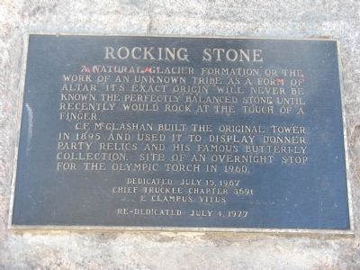
What the marker says
A natural glacier formation, or the work of an unknown tribe as a form of altar. It's exact origin will never be known. The perfectly balanced stone until recently would rock at the touch of a finger. C.F. McGlashan built the original tower in 1895 and used it to display Donner Party relics and his famous butterfly collection. Site of an overnight stop for the Olympic Torch in 1960. Erected 1967 by Chief Truckee Chapter No. 3691, E Clampus Vitus (re-dedicated July 4, 1977).
The record
| Marker family | E Clampus Vitus |
| Erected by | Chief Truckee Chapter No. 3691 |
| County | Nevada County |
| Place | Truckee |
| Location | High Street near Keiser Avenue, on the rock at the top of the tower at the Truckee Veterans Hall; at or near 10166 High Street, Truckee CA 96161 |
| Coordinates | 39.328000, -120.188000 |