Tuolumne County · California Historical Landmark No. 424
Sawmill Flat
State Landmark · Columbia · Tuolumne County, California
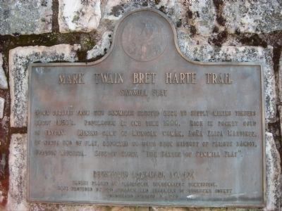
What the marker says
Name derived from two sawmills erected here to supply mining timbers early 1850's. Population at one time 1000. Rich in pocket gold in heyday. Mining camp of Mexican woman, Doña Elisa Martinez, at north end of flat, reported to have been hideout of famous bandit, Joaquin Murieta. Site of story, “The Battle of Sawmill Flat.” Erected 1949 by California Centennial Commission.
The record
| Marker family | State Landmark |
| Landmark number | No. 424 |
| County | Tuolumne County |
| Place | Columbia |
| Location | On Sawmill Flat Road 0.9 miles east of Parrotts Ferry Road (County Route E18), on the right when traveling east. Approximately 1/4 mile south of entrance to Columbia College |
| Coordinates | 38.022717, -120.379933 |