Tuolumne County
Site of the Sonora Plaza Well
Other · Sonora · Tuolumne County, California
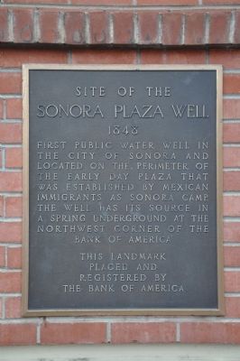
What the marker says
1848. First public water well in the city of Sonora and located on the perimeter of the early day plaza that was established by the Mexican immigrants as Sonora Camp. The well has its source in a spring underground at the northwest corner of the Bank of America. Erected by The Bank of America.
The record
| Marker family | Other |
| County | Tuolumne County |
| Place | Sonora |
| Location | At the intersection of West Stockton Street and South Green Street (California Highway 49), on the right when traveling east on West Stockton Street; marker is on the side of the Bank of America building, 180 South Washington Street, Sonora |
| Coordinates | 37.982917, -120.382500 |