Placer County
Stephens-Townsend-Murphy Party
County / Local · Soda Springs · Placer County, California
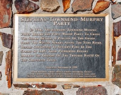
What the marker says
In 1844, the Stephens-Townsend-Murphy Party became the first wagon party to cross the Sierra Nevada. A portion of the group spent the winter nearby along the Yuba River, before continuing to Sutter's Fort in the spring of 1845. Their pioneering effort marked the opening of the Truckee Route of the California Trail. Erected 1994 by Tahoe National Forest, Nevada and Placer County Hist. Societies, Oregon Calif. Trails Assoc., Truckee Donner Hist. Soc., Sierra State Park Assc.
The record
| Marker family | County / Local |
| County | Placer County |
| Place | Soda Springs |
| Location | On Hampshire Rocks Road, on the left when traveling east; in front of the Big Bend Visitor Center; at or near 49685 Hampshire Rocks Road, Soda Springs CA 95728 |
| Coordinates | 39.306100, -120.517733 |
| Same-site note | Shares its site and coordinates in front of the Big Bend Visitor Center with the Overland Emigrant Trail (CHL 799-2) marker (m=95507); distinct plaques, not duplicates. |