El Dorado County
The California Gold Rush
Other · Pollock Pines · El Dorado County, California
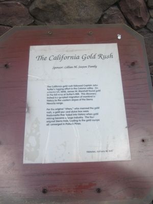
What the marker says
The California gold rush followed Captain John Sutter's logging effort in the Coloma valley. On January 24, 1848, James W. Marshall found gold in the tail-race at Sutter's Mill. This discovery incited the greatest migration of mankind in history to the Western slopes of the Sierra Nevada Range. For the original “49ers,” who mined the gold rush, a gold pan and sluice box were trademarks that faded into history when gold mining became a large industry. The four original Sierra trails leading to the gold camps all converged in Pollock Pines. Historian: Anthony M. Belli. Sponsored by the Lillian M. Sexton Family. (One panel of the six-sided Pollock Pines kiosk.)
The record
| Marker family | Other |
| County | El Dorado County |
| Place | Pollock Pines |
| Location | At the intersection of Pony Express Trail (Lincoln Highway) and Forebay Road, on the right when traveling east on Pony Express Trail; the marker is located at the northwest corner of the Safeway parking lot; marker is at or near 6498 Pony Express Trail, Pollock Pines CA 95726 |
| Coordinates | 38.762783, -120.578000 |