El Dorado County
The Diggins
Other · Coloma · El Dorado County, California
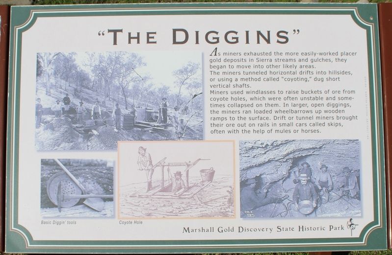
What the marker says
As miners exhausted the more easily-worked placer gold deposits in Sierra streams and gulches, they began to move into other likely areas. The miners tunnels horizontal drifts into hillsides, or using a method called “coyoting,” dug short vertical shafts. Miners used windlasses to raise buckets of ire from coyote holes, which were often unstable and sometimes collapsed on them. In larger, open diggings, the miners ran loaded wheelbarrows up wooden ramps to the surface Drift or tunnel miners brought their ore out on rails in small cars called skips, often with the help of mules or horses. Erected by California Department of Parks & Recreation.
The record
| Marker family | Other |
| County | El Dorado County |
| Place | Coloma |
| Location | On Coloma Road (California Route 49) near Mt Murphy Road; resin marker mounted to a metal stand on the Gold Discovery Loop Trail, Marshall Gold Discovery State Historic Park |
| Coordinates | 38.800600, -120.891733 |