El Dorado County
The Mormon Emigrant Trail
Other · Pollock Pines · El Dorado County, California
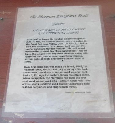
What the marker says
Shortly after James W Marshall discovered gold at Sutter's Mill, his Mormon laborers were re-called to the Great Salt Lake Valley, Utah. On April 9, 1848, a plan was devised to cut a wagon trail through the uncharted Sierra Nevada frontier. The trail would become the present day Mormon Emigrant Trail… Their first camp site was made July 4, 1848 by Mormon scout, Jason Calvin Sly at today's Sly Park… When completed the Mormons had built the first east-west wagon road into Northern California… Historian: Anthony M. Belli. Sponsored by The Church of Jesus Christ of Latter Day Saints. (One panel of the six-sided Pollock Pines kiosk.)
The record
| Marker family | Other |
| County | El Dorado County |
| Place | Pollock Pines |
| Location | At the intersection of Pony Express Trail (Lincoln Highway) and Forebay Road, on the right when traveling east on Pony Express Trail; the marker is located at the northwest corner of the Safeway parking lot; marker is at or near 6498 Pony Express Trail, Pollock Pines CA 95726 |
| Coordinates | 38.762783, -120.578000 |