Placer County
The Plentiful Lake
County / Local · Tahoe City · Placer County, California
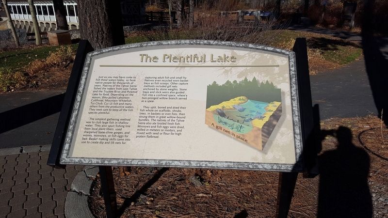
Just as you may have come to fish these waters today, so have native people for thousands of years. Natives of the Tahoe Sierra fished the waters from Lake Tahoe and the Truckee River and Pyramid Lake for food. Depending on the season, they pulled Lahonton Cutthroat, Mountain Whitefish, Tui Chub, Cui Ui fish and many others from the productive waters. They took care to keep all the fish species plentiful. The simplest gathering method was to club large fish in shallow water. They also spun fishing line from local plant fibers, used sharpened bone-sliver gorges, and worms, minnows, or fish eggs for bait.… Erected by North Lake Tahoe Historical Society.
Partial text — the full plaque text has not been transcribed in full.
The record
| Marker family | County / Local |
| County | Placer County |
| Place | Tahoe City |
| Location | Can be reached from West Lake Blvd north of Tahoe Tavern Road; within William B. Layton Park; at or near 130 West Lake Blvd, Tahoe City CA 96145 |
| Coordinates | 39.166617, -120.143883 |
| Same-site note | One of the William B. Layton Park / Gatekeeper's Cabin Museum panel cluster at the Lake Tahoe outlet in Tahoe City; the panels stand within a few steps of each other at near-identical published coordinates but are distinct markers, not duplicates. |