Amador County
Treasure Mine
County / Local · Amador City · Amador County, California
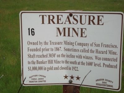
What the marker says
Owned by the Treasure Mining Company of San Francisco. Founded prior to 1867. Sometimes called the Hazard Mine. Shaft reached 3030’ on the incline with winzes. Was connected to the Bunker Hill Mine to the south at the 1600; level. Produced $1,000,000 in gold and closed in 1922.
The record
| Marker family | County / Local |
| County | Amador County |
| Place | Amador City |
| Location | Bunker Hill Road south of Fremont Mine Road; 15165 Bunker Hill Road, Amador City CA 95601, near Amador City |
| Coordinates | 38.430017, -120.828350 |