Nevada County
Truckee Trail - Ascent to Lake and Valley
Other · Cisco Grove · Nevada County, California
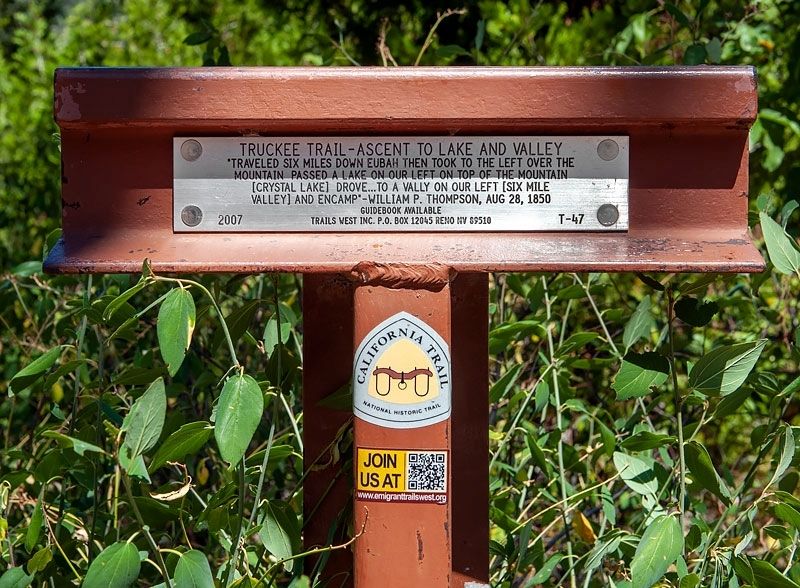
What the marker says
"Traveled six miles down Eubah then took to the left over the mountain passed a lake on our left on top of the mountain [Crystal Lake] drove ... to a valley on our left [Six Mile Valley] and encamp" - William P. Thompson, Aug 28, 1850. Trails West Inc. marker T-47.
The record
| Marker family | Other |
| County | Nevada County |
| Place | Cisco Grove |
| Location | Unnamed dirt road (Lincoln Highway vestige), 0.3 miles from I-80 Exit 164 (Eagle Lakes), near Cisco Grove |
| Coordinates | 39.318800, -120.564767 |