Placer County
Truckee Trail - Camel's Hump
Other · Dutch Flat · Placer County, California
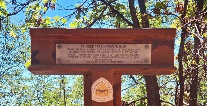
What the marker says
"Today our road has been over a high ridge often leading over elevated peaks difficult of ascent & descent & into ravines which it seemed impossible ever to get into without rolling from top to bottom." - William Edwin Chamberlain, Aug 14, 1849. Erected 2007 by Trails West Inc. (Marker Number T-55.)
The record
| Marker family | Other |
| County | Placer County |
| Place | Dutch Flat |
| Location | On Lowell Hill Road (post office area: Grass Valley CA 95945) |
| Coordinates | 39.217483, -120.850017 |