Placer County
Truckee Trail - Through Boulder Field
Other · Soda Springs · Placer County, California
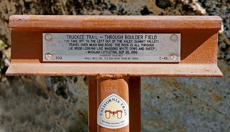
What the marker says
You take off to the left of the valey [sic] (Summit Valley) Travel over much bad road The rock is all through the wood looking like waggons [sic] white cows and sheep. Micajah Littleton, Sep 28, 1850. Erected 2001 by Trails West, Inc. (Marker Number T-43.)
The record
| Marker family | Other |
| County | Placer County |
| Place | Soda Springs |
| Location | On Kidd Lakes Road 2 miles west of Soda Springs Road, on the right when traveling west (post office area: Soda Springs CA 95728) |
| Coordinates | 39.311233, -120.411750 |