El Dorado County
What Happened To All The Buildings?
Other · Coloma · El Dorado County, California
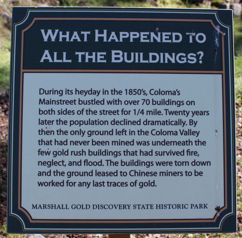
What the marker says
During its heyday in the 1850's, Coloma's Mainstreet bustled with over 70 buildings on both side of the street for ¼ mile. Twenty years later the population declined dramatically. By then the only ground left in the Coloma Valley that had never been mined was underneath the few gold rush buildings that had survived fire, neglect, and flood. The buildings were torn down and the ground leased to Chinese miners to be worked for any last traces of gold. Erected by California Department of Parks & Recreation.
The record
| Marker family | Other |
| County | El Dorado County |
| Place | Coloma |
| Location | On Coloma Road (California Route 49) south of Mt Murphy Road; resin marker mounted to a metal stand south of the beer garden, Marshall Gold Discovery State Historic Park |
| Coordinates | 38.800067, -120.890967 |