El Dorado County
Yank's Added Station
Other · Meyers · El Dorado County, California
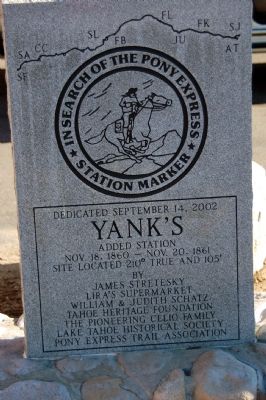
The Hawley Grade from April 3, 1860 to November 17, 1860 was used by the Pony Express. On November 18, 1860 the new toll road down Johnson Pass (Echo Summit), today's Old Meyers Grade, was opened to horse traffic and was now used by the Pony Express… The former “Lake Valley House” Pony Express Station located at the foot of the Hawley Grade was replaced by “Yank's” Pony Express Station. It was named after Ephraim “Yank” Clement. He sold it to George Meyers in 1873… “Yank's” Station was destroyed by the November 25, 1938 Meyers Fire. Dedicated September 14, 2002 by the Pony Express Trail Association, Tahoe Heritage Foundation, Lake Tahoe Historical Society and others. (Same coordinates as the John (Snowshoe) Thompson and Yank's Station markers.)
The record
| Marker family | Other |
| County | El Dorado County |
| Place | Meyers |
| Location | On Lincoln Highway (U.S. 50) west of Apache Avenue, on the left when traveling west; marker is at or near 2977 Lincoln Highway, South Lake Tahoe CA 96150 |
| Coordinates | 38.855883, -120.012967 |