← The catalogue · ← Amador County markers
Gold Country · Amador County
Argonaut and Kennedy Mines
Where it stands
On State Highway 49; marker is located at the rest area across from the Kennedy Mine, 1.6 miles north of the town of Jackson; Jackson CA 95642
Coordinates: 38.364683, -120.787133 · View on map →
The words on the plaque
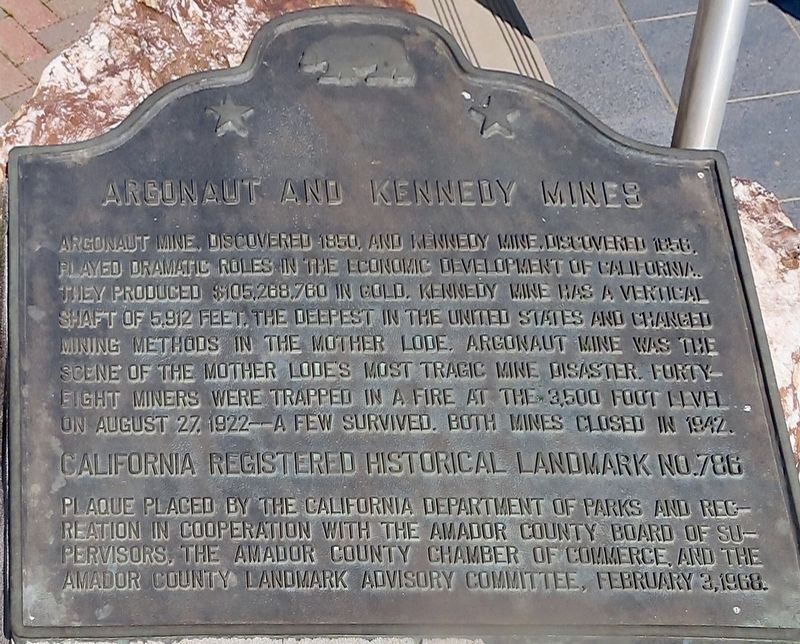
Argonaut Mine, discovered 1850, and Kennedy Mine, discovered 1856, played dramatic roles in the economic development of California. They produced $105,268,760 in gold. Kennedy Mine has a vertical shaft of 5,912 feet, the deepest in the United States and changed mining methods in the Mother Lode. The Argonaut Mine was the scene of the Mother Lode's most tragic mine disaster. Forty-eight miners were trapped in a fire at the 3,500 foot level on August 27, 1922 — a few survived. Both mines closed in 1942.
Source
Catalogued from the Historical Marker Database (marker No. 100586), cross-checked against the California Office of Historic Preservation’s landmark lists.