← The catalogue · ← Amador County markers
Gold Country · Amador County
Argonaut Mine
Where it stands
On State Highway 49 (California Route 49), on the right when traveling south; marker is located at the rest area across from the Kennedy Mine, 1.6 miles north of the town of Jackson; Jackson CA 95642
Coordinates: 38.364800, -120.787167 · View on map →
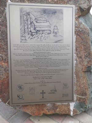
The words on the plaque
On the hill to your right stand the remains of the Argonaut Mine gallus (headframe), beneath which 47 miners were lost when a fire broke out deep in the main shaft on August 27, 1922. At that time the Argonaut was one of the deepest gold mines in North America. The disaster that occurred on that fateful day is noted as the largest gold mine disaster in North America. These brave men were from California, Texas, Austria, Italy, Yugoslavia, Germany, Switzerland, Spain, Montenegro, Portugal, Hercegovina, Serbia, Illinois, Washington, Sweden, Dalmatia, Sardinia and Michigan.…
Source
Catalogued from the Historical Marker Database (marker No. 94781).