← The catalogue · ← Amador County markers
Gold Country · Amador County
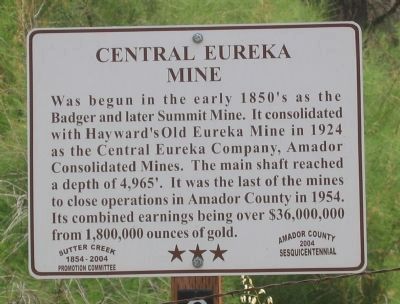
Central Eureka Mine
Where it stands
Intersection of Sutter Hill Road and Old Ridge Road when traveling east on Sutter Hill Road, Sutter Creek CA 95685
Coordinates: 38.382633, -120.799617 · View on map →
The words on the plaque
Was begun here in the early 1850's as the Badger and later the Summit Mine. It consolidated with Hayward's old Eureka Mine in 1924 as the Central Eureka Company, Amador Consolidated Mines. The main shaft reached a depth of 4,965'. It was the last of the mines to close operations in Amador County in 1954. Its combined earnings being over $36,000,000 from 1,800,000 ounces of gold. Erected 2004 by The Sutter Creek 1854-2004 Promotion Committee and the Amador County 2004 Sesquicentennial.
Source
Catalogued from the Historical Marker Database (marker No. 13084).