← The catalogue · ← Amador County markers
Gold Country · Amador County
City of Plymouth
Where it stands
Main Street east of Mineral Street, City Hall Building, 9426 Main Street, Plymouth CA 95669
Coordinates: 38.481217, -120.847217 · View on map →
The words on the plaque
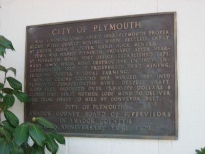
Was a mining camp about 1852. Plymouth proper began with quartz mining when settled early by Green Aden & other hard rock miners. Town was named Plymouth, probably after nearby Plymouth Mine. Post Office established 1871. Many town fires, most destructive in 1877. Incorporated 1917. It prospered through mining, trading center & local farming. Mining claims located 1852, merged 1883 into Plymouth Consolidated Mine. Deepest shaft, 4,450 feet. Produced over 13,500,000 dollars & closed 1947. First Mother Lode mine to deliver ore from shaft to mill by conveyor belt. Erected 1979 by City of Plymouth, Amador County Board of Supervisors.
Source
Catalogued from the Historical Marker Database (marker No. 41349).