← The catalogue · ← Amador County markers
Gold Country · Amador County
Drytown
Native Sons/DaughtersAmador County
Where it stands
Hanford Street (State Highway 49), on the right when traveling south, Drytown; marker is on a building now used as an antique store
Coordinates: 38.441033, -120.855200 · View on map →
The words on the plaque
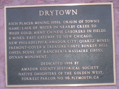
Rich placer mining, 1850’s. Origin of town’s name: Lack of water in nearby creek to wash gold. Many Chinese laborers in fields & mines. East gateway to New Chicago, New Philadelphia, Amador City; Quartz mines: Fremont-Gover & Treasure (1867), Bunker Hill (1853); Scene of Rancheria Massacre (1855); Dynan Monument.
Source
Catalogued from the Historical Marker Database (marker No. 74124).