← The catalogue · ← Amador County markers
Gold Country · Amador County
Keystone Mine
County / LocalAmador County
Where it stands
Main Street south of Water Street, Amador City
Coordinates: 38.417617, -120.823717 · View on map →
The words on the plaque
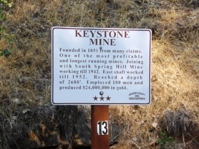
Founded in 1851 from many claims. One of the most profitable and longest running mines. Joining with South Spring Hill Mine working till 1942. East shaft worked until 1952. Reached a depth of 2680'. Employed 100 men and produced $24,000,000 in gold.
Source
Catalogued from the Historical Marker Database (marker No. 26037).