← The catalogue · ← Amador County markers
Gold Country · Amador County
Miners' Bend Park
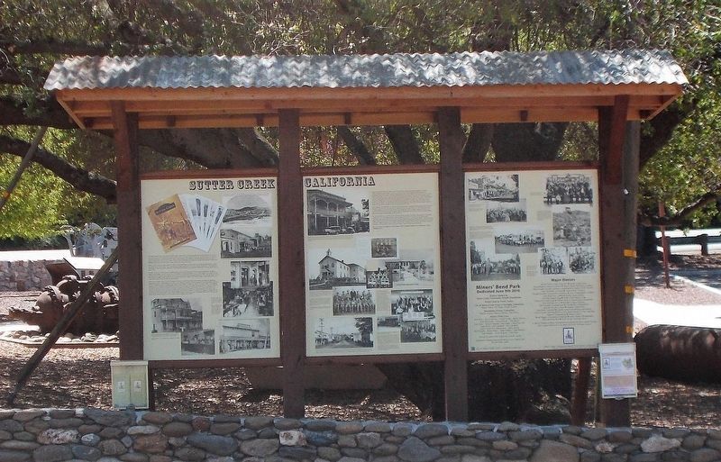
Where it stands
Old Route 49 (Main Street), on the left when traveling south; 29 Old Route 49, Sutter Creek CA 95685
Coordinates: 38.389383, -120.801017 · View on map →
The words on the plaque
Sutter Creek, California — Left Panel: Like many communities in the Sierra Foothills, Sutter Creek grew out of the great gold rush of 1849. Thousands of men of every nationality arrived seeking fortunes through toil, sweat, and luck. Americans from the East labored next to Chinese, Chileans, Englishmen, and Mexicans. They came to work the placer gold deposits of the mountain-fed streams around a location that would become known as Sutter Creek… (three-panel interpretive marker; full text on HMdb page). Erected 2017 by Sutter Creek Community Benefit Foundation and Native Sons of the Golden West, Amador Parlor #17.
Source
Catalogued from the Historical Marker Database (marker No. 106380).