← The catalogue · ← Amador County markers
Gold Country · Amador County
Original Amador Mine
County / LocalAmador County
Where it stands
Intersection of East School Street and Amador Creek Street, on the right when traveling south on East School Street, Amador City
Coordinates: 38.419867, -120.823750 · View on map →
The words on the plaque
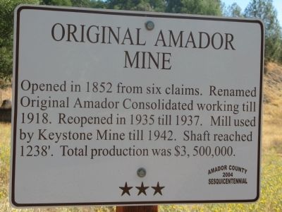
Opened in 1852 from six claims. Renamed Original Amador Consolidated working till 1918. Reopened in 1935 till 1937. Shaft reached 1238’. Total production was $3,500,000.
Source
Catalogued from the Historical Marker Database (marker No. 10329).