← The catalogue · ← Amador County markers
Gold Country · Amador County
South Spring Hill Mine
County / LocalAmador County
Where it stands
String Bean Alley east of Old Route 49; 10301-10355 Old Sutter Creek-Amador City Highway, Amador City CA 95601, near Amador City
Coordinates: 38.413433, -120.819050 · View on map →
The words on the plaque
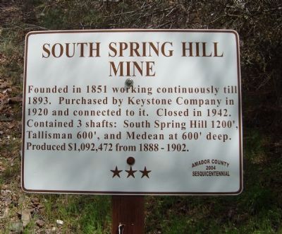
Founded in 1851 working continuously till 1893. Purchased by Keystone Company in 1920 and connected to it. Closed in 1942. Contained 3 shafts: South Spring Hill 1200’, Tallisman 600’, and Medean at 600’ deep. Produced $1,092,472 from 1888-1902.
Source
Catalogued from the Historical Marker Database (marker No. 44608).