← The catalogue · ← Calaveras County markers
Gold Country · Calaveras County
Calaveritas
State landmark (CHL)California Historical Landmark No. 255Calaveras County
Where it stands
Intersection of Calaveritas Road and Costa Road, 4.5 miles southeast of San Andreas
Coordinates: 38.157950, -120.612350 · View on map →
The words on the plaque
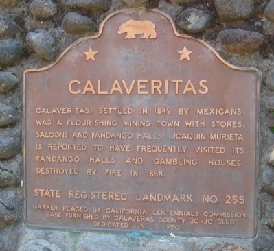
Calaveritas, settled in 1849 by Mexicans, was a flourishing mining town complete with stores, saloons, gambling houses, and fandango halls. Joaquin Murieta is reported to have frequently visited its Fandango Halls and gambling houses. Destroyed by fire in 1858.
Source
Catalogued from the Historical Marker Database (marker No. 12992), cross-checked against the California Office of Historic Preservation’s landmark lists.