← The catalogue · ← El Dorado County markers
Gold Country · El Dorado County
A Place to Gather and Work
Where it stands
On Coloma Road (California Route 49) north of Mt Murphy Road; resin panel mounted to a metal stand atop the rock on the Gold Discovery Loop Trail, Marshall Gold Discovery State Historic Park
Coordinates: 38.801667, -120.893467 · View on map →
The words on the plaque
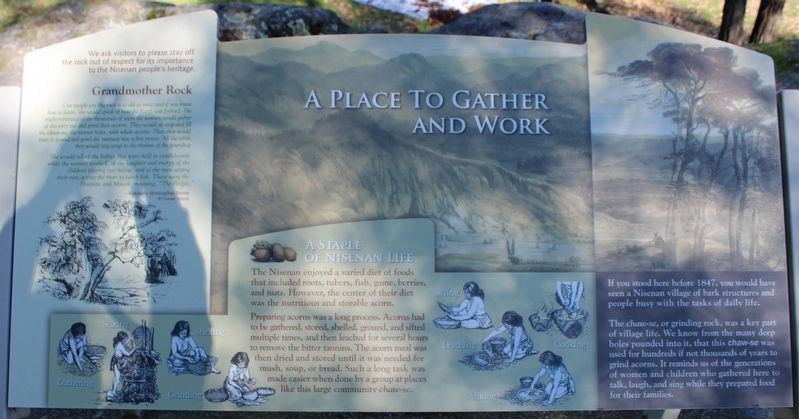
If you stood here in 1848, you would have seen a Nisenan village of bark structures and people busy with the tasks of daily life. The chaws-se, or grinding rock, was a key part of village life. We know from the many deep holes pounded into it, that this chaw-se was used for hundreds if not thousands of years to grind acorns. It reminds us of the generations of women and children who gathered here to talk, laught, and sing while they prepared food for their families. We ask visitors to please stay off the rock out of respect for its importance to the Nisenan people's heritage… Erected by California Department of Parks & Recreation.
Source
Catalogued from the Historical Marker Database (marker No. 214885).