← The catalogue · ← El Dorado County markers
Gold Country · El Dorado County
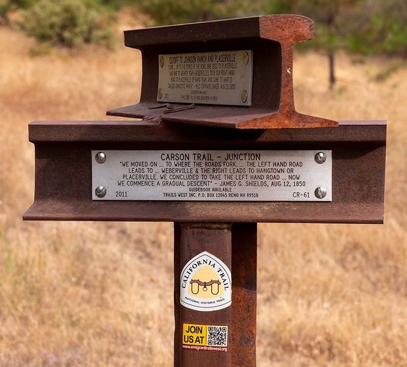
Carson Trail - Junction
Other organizationsEl Dorado County
Where it stands
At the intersection of Park Creek Road and Old Carson Road on Park Creek Road, Pollock Pines CA 95726
Coordinates: 38.754950, -120.546900 · View on map →
The words on the plaque
"We moved on...to where the roads forked...the left hand road leads to Weberville & the right leads to Hangtown or Placerville. We concluded to take the left hand road, now we commence a gradual descent." - James G. Shields, Aug 12, 1850. Erected 2011 by Trails West, Inc. (Marker CR-61.) The same T-marker also carries the Johnson Cutoff JC-25 plates (HMdb 212436).
Source
Catalogued from the Historical Marker Database (marker No. 212434).