← The catalogue · ← El Dorado County markers
Gold Country · El Dorado County
Carson Trail - Wagon Road to Placerville
Other organizationsEl Dorado County
Where it stands
On Cedar Ravine Road, on the right when traveling east; marker is on an embankment about 140 feet east of the intersection with Quarry Road, Placerville CA 95667
Coordinates: 38.689067, -120.758483 · View on map →
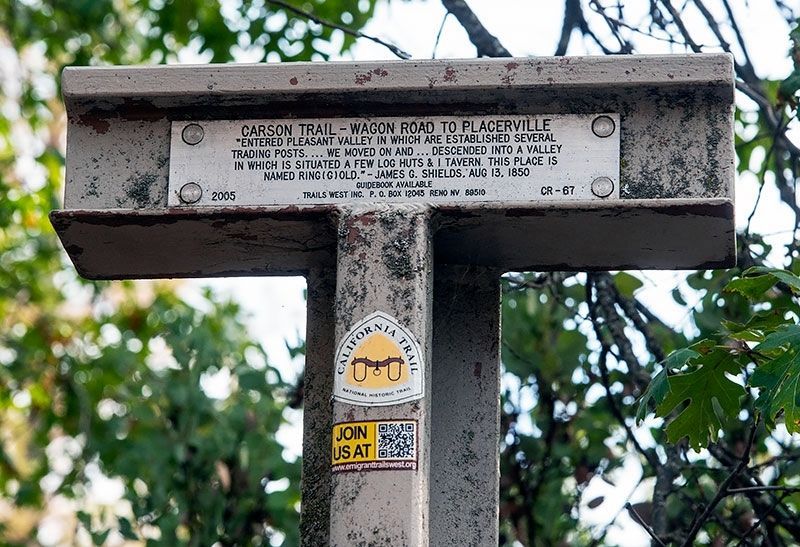
The words on the plaque
"Entered Pleasant Valley in which are established several trading posts....We moved on and...descended into a valley in which is situated a few log huts & 1 tavern. This place is named Ring(g)old." James G. Shields, Aug 13, 1850. Erected 2005 by Trails West, Inc. (Marker CR-67.) Distinct marker from the same-named CR-66 on Holm Road, about 1.6 miles away.
Source
Catalogued from the Historical Marker Database (marker No. 211169).