← The catalogue · ← El Dorado County markers
Gold Country · El Dorado County
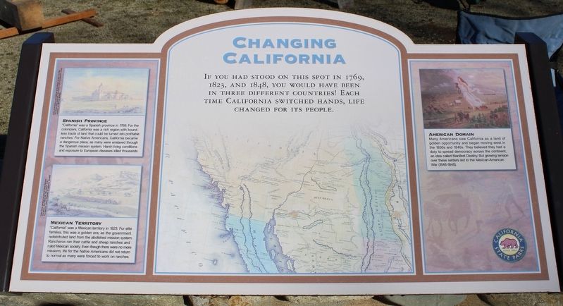
Changing California
Where it stands
On Coloma Road (California Route 49) north of Mt Murphy Road; resin panel mounted to a masonry wall at the mill replica, Marshall Gold Discovery State Historic Park
Coordinates: 38.803150, -120.892967 · View on map →
The words on the plaque
If you had stood on this spot in 1769, 1823, and 1848, you would have been in three different countries! Each time California switched hands, life changed for its people. Spanish Province: “California” was a Spanish province in 1769. For the colonizers, California was a rich region with boundless tracts of land that could be turned into profitable ranches. For Native Americans, California became a dangerous place, as many were enslaved through the Spanish mission system. Harsh living conditions and exposure to European diseased killed thousands. Mexican Territory: “California” was a Mexican territory in 1823… Erected by California Department of Parks & Recreation.
Source
Catalogued from the Historical Marker Database (marker No. 214606).