← The catalogue · ← El Dorado County markers
Gold Country · El Dorado County
Coloma Bridges
Where it stands
At the intersection of Mt Murphy Road and Coloma Road (California Route 49), on the right when traveling east on Mt Murphy Road; resin marker mounted to a metal stand on the side of the road, Marshall Gold Discovery State Historic Park
Coordinates: 38.801017, -120.891267 · View on map →
The words on the plaque
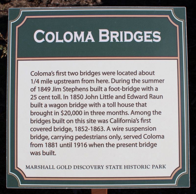
Coloma's first two bridges were located about ¼ mile upstream from here. During the summer of 1849 Jim Stephens built a foot-bridge with a 25 cent toll. In 1850 John Little and Edward Raun built a wagon bridge with a toll house that brought in $20,000 in three months. Among the bridges built on this site was California's first covered bridge, 1852-1863. A wire suspension bridge, carrying pedestrians only, served Coloma from 1881 until 1916 when the present bridge was built. Erected by California Department of Parks & Recreation.
Source
Catalogued from the Historical Marker Database (marker No. 215522).