← The catalogue · ← El Dorado County markers
Gold Country · El Dorado County
Henry Mahler's Fruit Farm
Where it stands
On Back Street near Bridge Street, on the right when traveling south; resin marker mounted to a metal stand on the side of the road, Marshall Gold Discovery State Historic Park
Coordinates: 38.799950, -120.891467 · View on map →
The words on the plaque
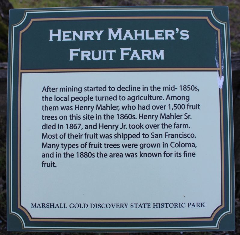
After mining started to decline in the mid-1850s, the local people turned to agriculture. Among them was Henry Mahler, who had over 1,500 fruit trees on this site in the 1860s. Henry Mahler Sr. died in 1867, and Henry Jr. took over the farm. Most of their fruit was shipped to San Francisco. Many types of fruit trees were grown in Coloma, and in the 1880s the area was known for its fine fruit. Erected by California Department of Parks & Recreation.
Source
Catalogued from the Historical Marker Database (marker No. 215741).