← The catalogue · ← El Dorado County markers
Gold Country · El Dorado County
Marshall's Cabin
Where it stands
On Marshall Park Way east of Monument Road (California Route 153), on the left when traveling east; resin marker mounted to a metal stand in front of the cabin, Marshall Gold Discovery State Historic Park
Coordinates: 38.797067, -120.893033 · View on map →
The words on the plaque
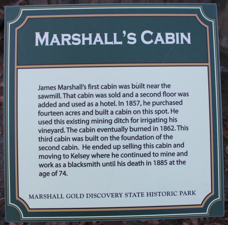
James Marshall's first cabin was built bear the sawmill. That cabin was sold and a second floor was added and used as a hotel. In 1857, he purchased fourteen acres and built a cabin on this spot. He used this existing mining ditch for irrigating his vineyard. The cabin eventually burned in 1862. This third cabin was built on the foundation of the second cabin. He ended up selling this cabin and moving to Kelsey where he continued to mine and work as a blacksmith until his death in 1885 at the age of 74. Erected by California Department of Parks & Recreation.
Source
Catalogued from the Historical Marker Database (marker No. 215638).